
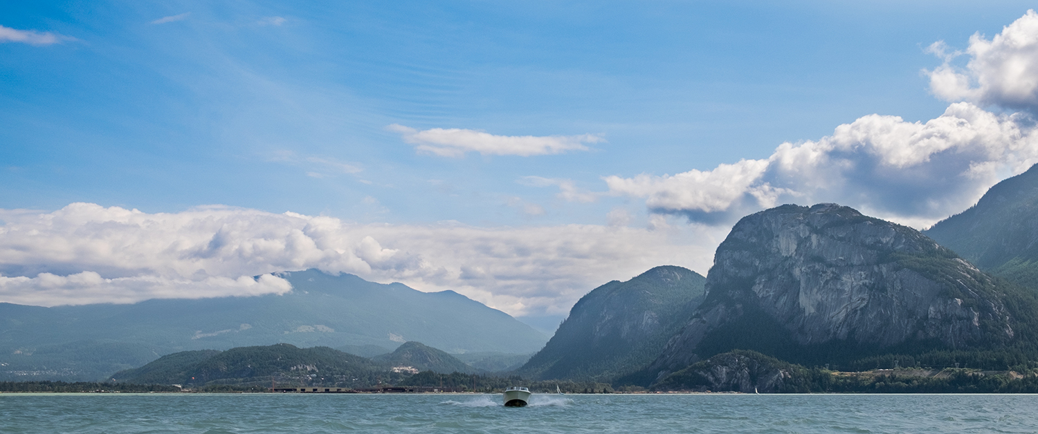
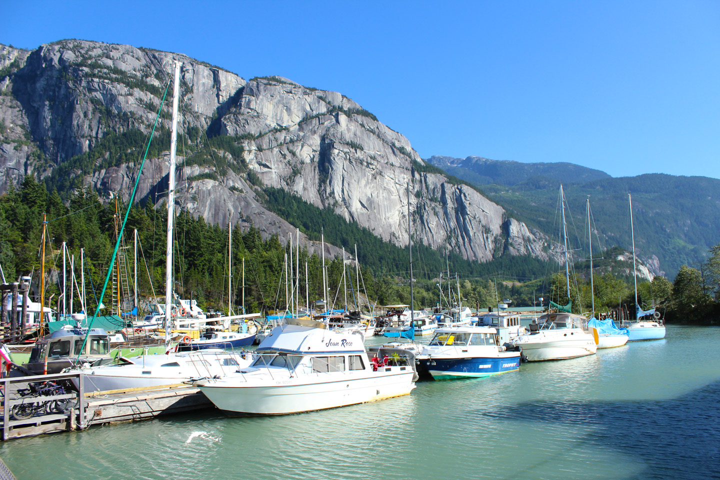
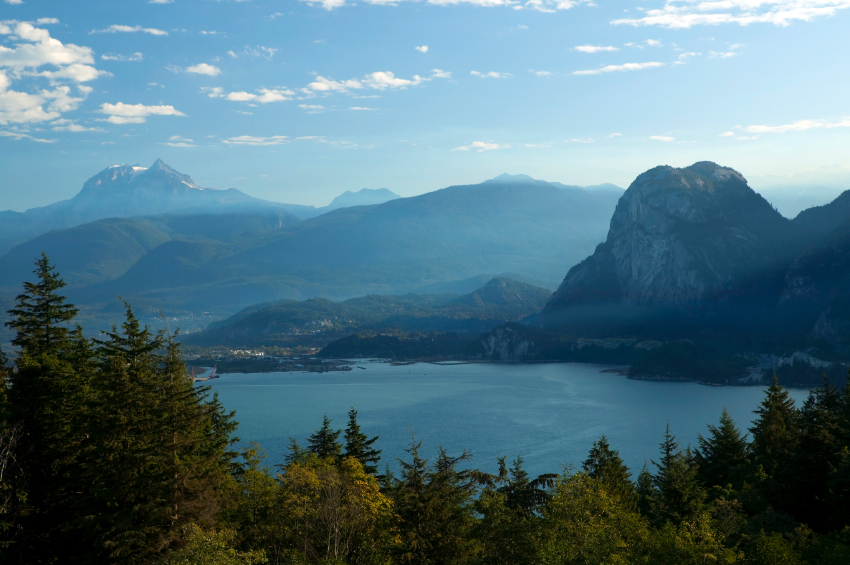
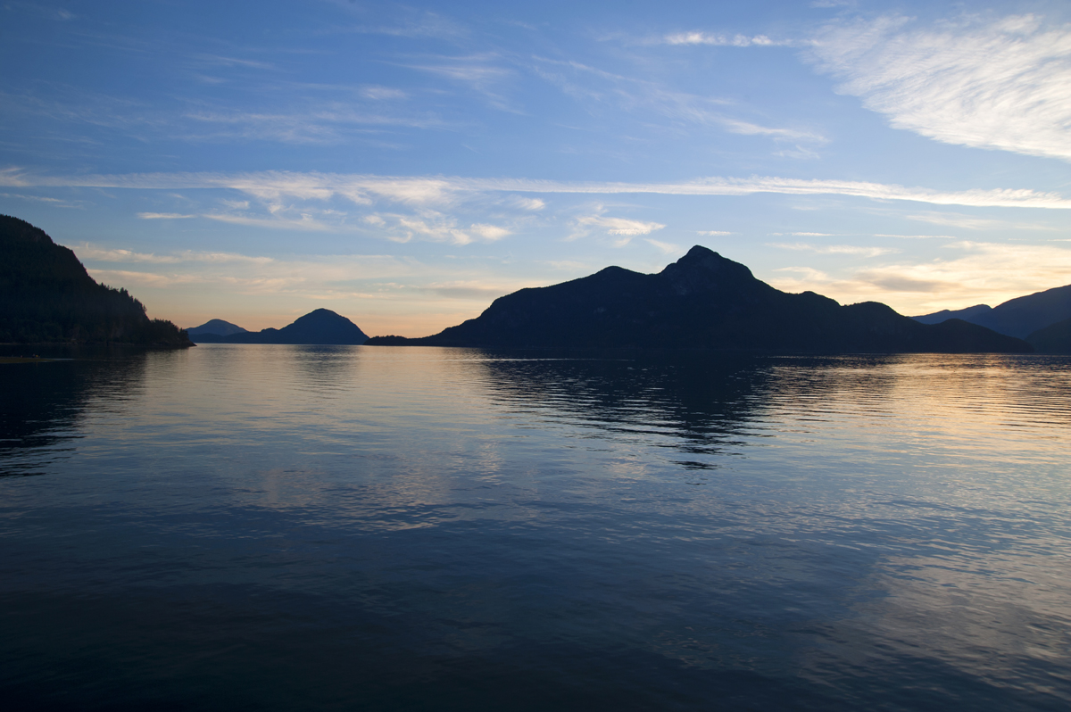
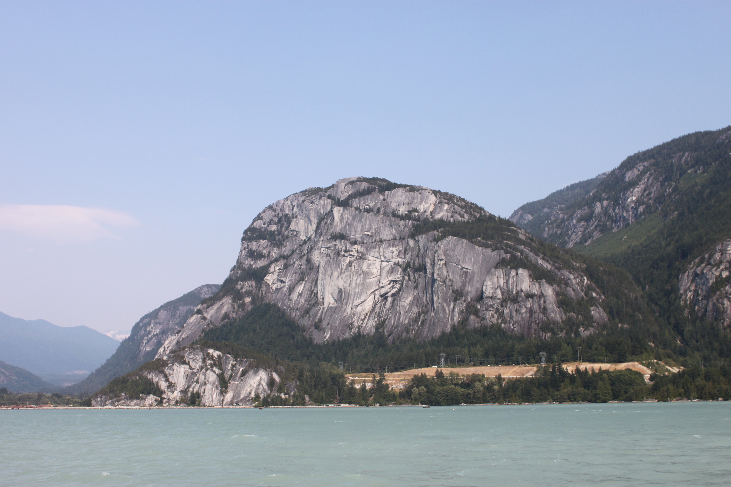
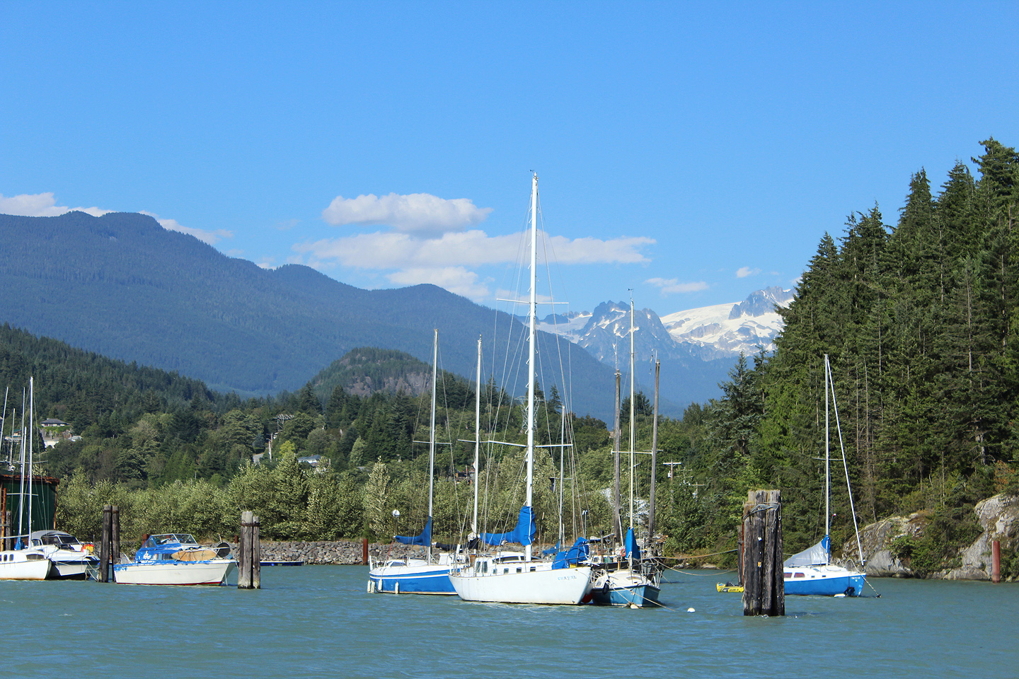
Photos of the area
Points of Interest

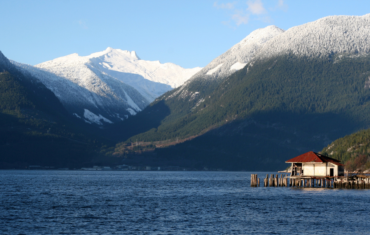
Woodfibre
The former pulp mill and one time town is located on the west side of the north end of Howe Sound. The mill closed in March of 2006 but the cove itself is picturesque and Mount Sedgwick can be seen in the range above the old site.
Britannia
The community itself was first developed between 1900 and 1904 for the staff of the Britannia Mining and Smelting Company. The name comes from the nearby Britannia Range on the eastern side of Howe Sound. The mine itself was at one time the largest producer of copper in the British Commonwealth but closed in 1974 after operating costs became too high. The Mine now hosts thousands of tourists each year.
Defence Islands
Two small islands located northeast of Anvil Island under the administration of the Squamish Nation. An incredibly beautiful location, look carefully for wildlife along the shoreline.
Furry Creek
The creek was named after early prospector and settler Oliver Furry and the area is home to “BC’s Most Scenic Golf Course”. Several movies have been filmed here including Happy Gilmore. The cove at Oliver’s Landing is where you will discover Native Pictographs on the rock face on the north side.
Porteau Cove
A Provincial Park, which is 50 hectares in size, Porteau is a very popular spot for scuba diving and also offers camping and picnicking.
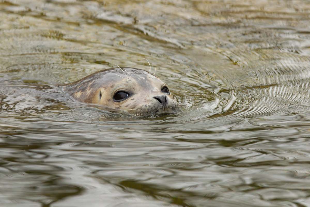
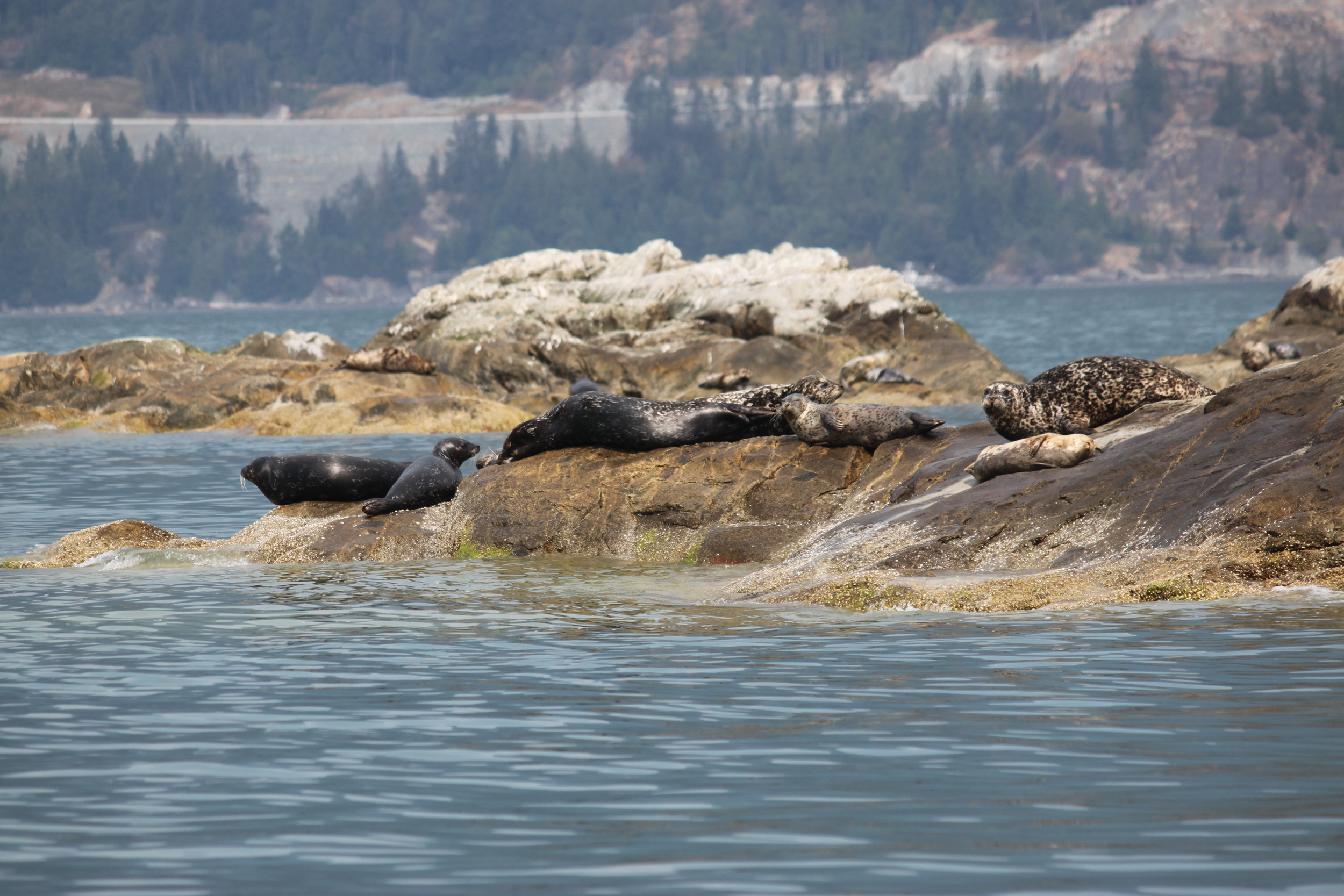
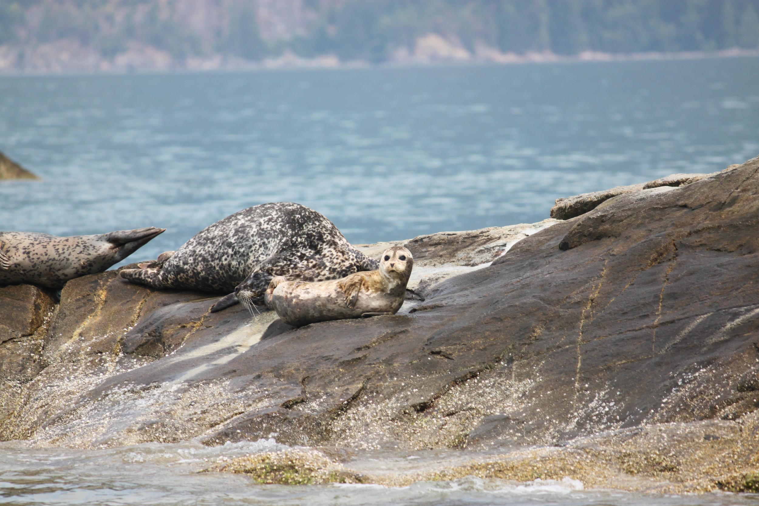
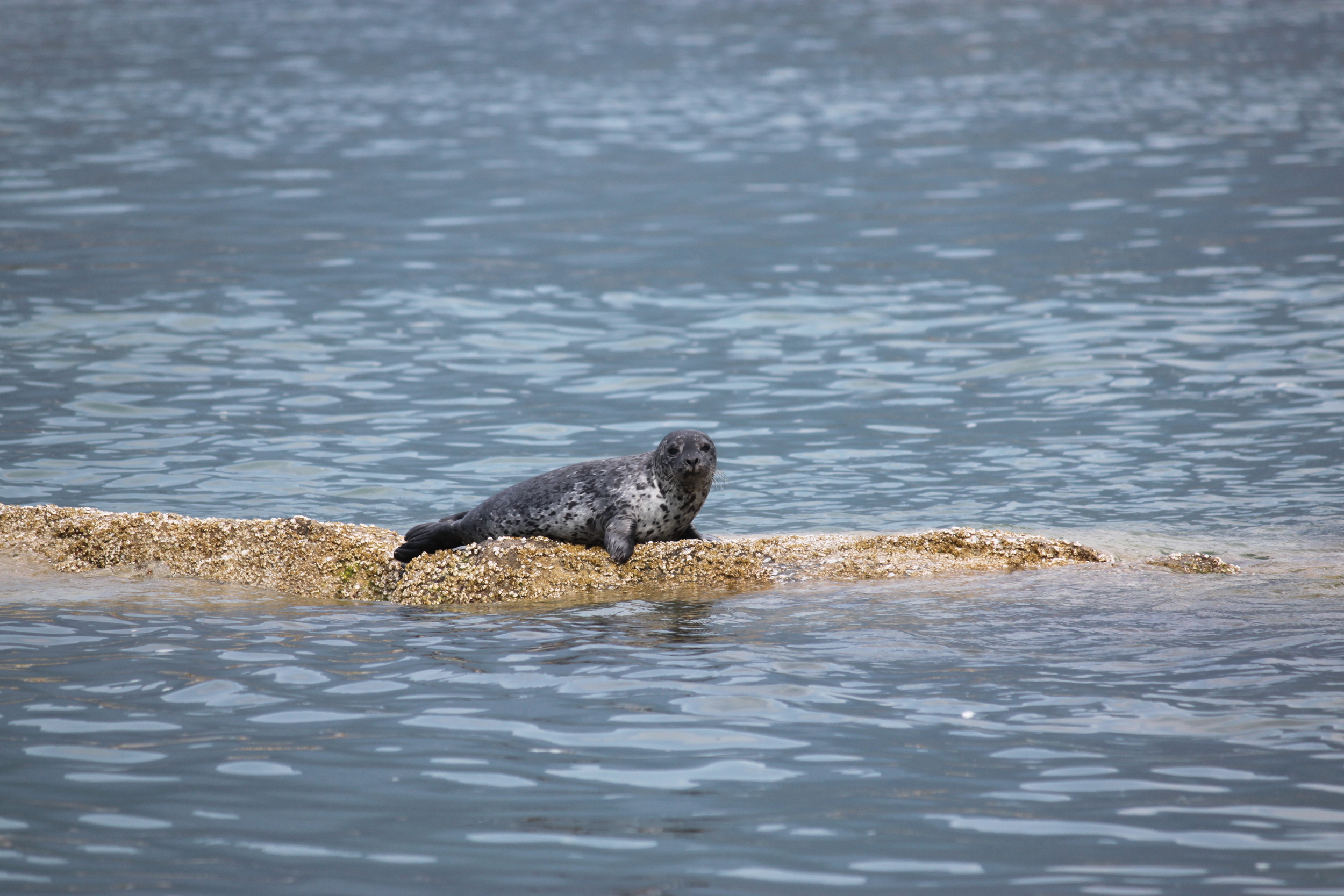
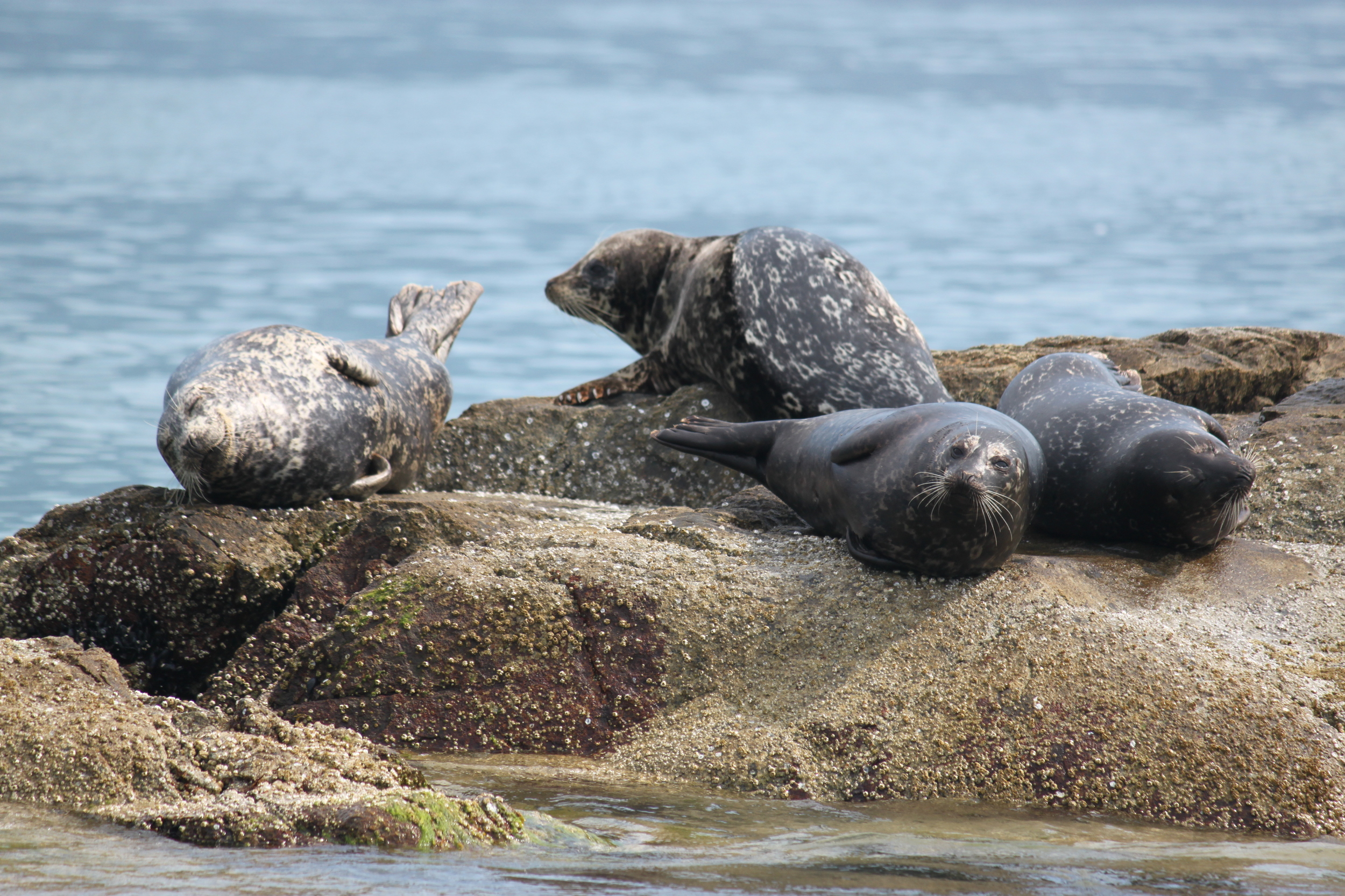
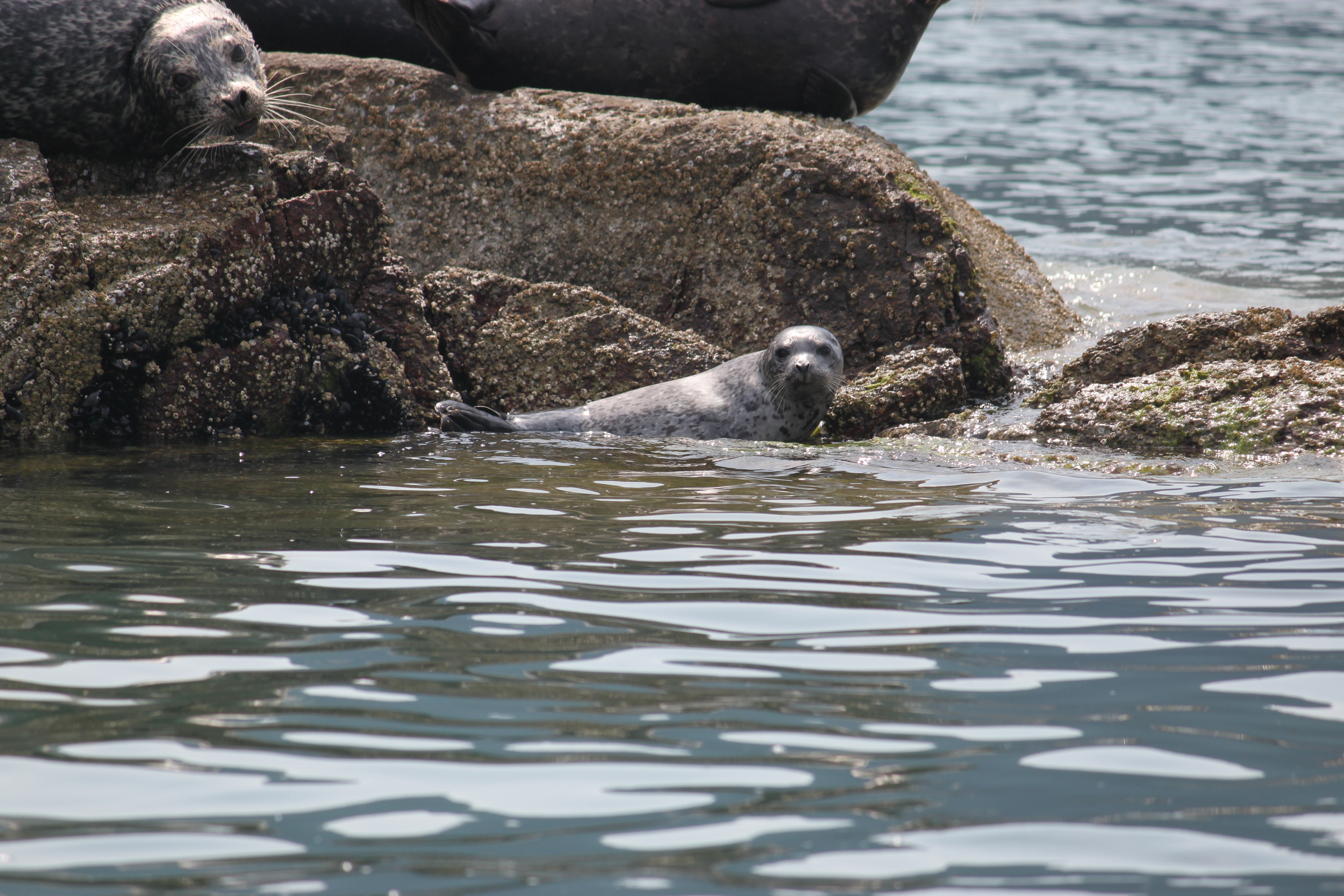
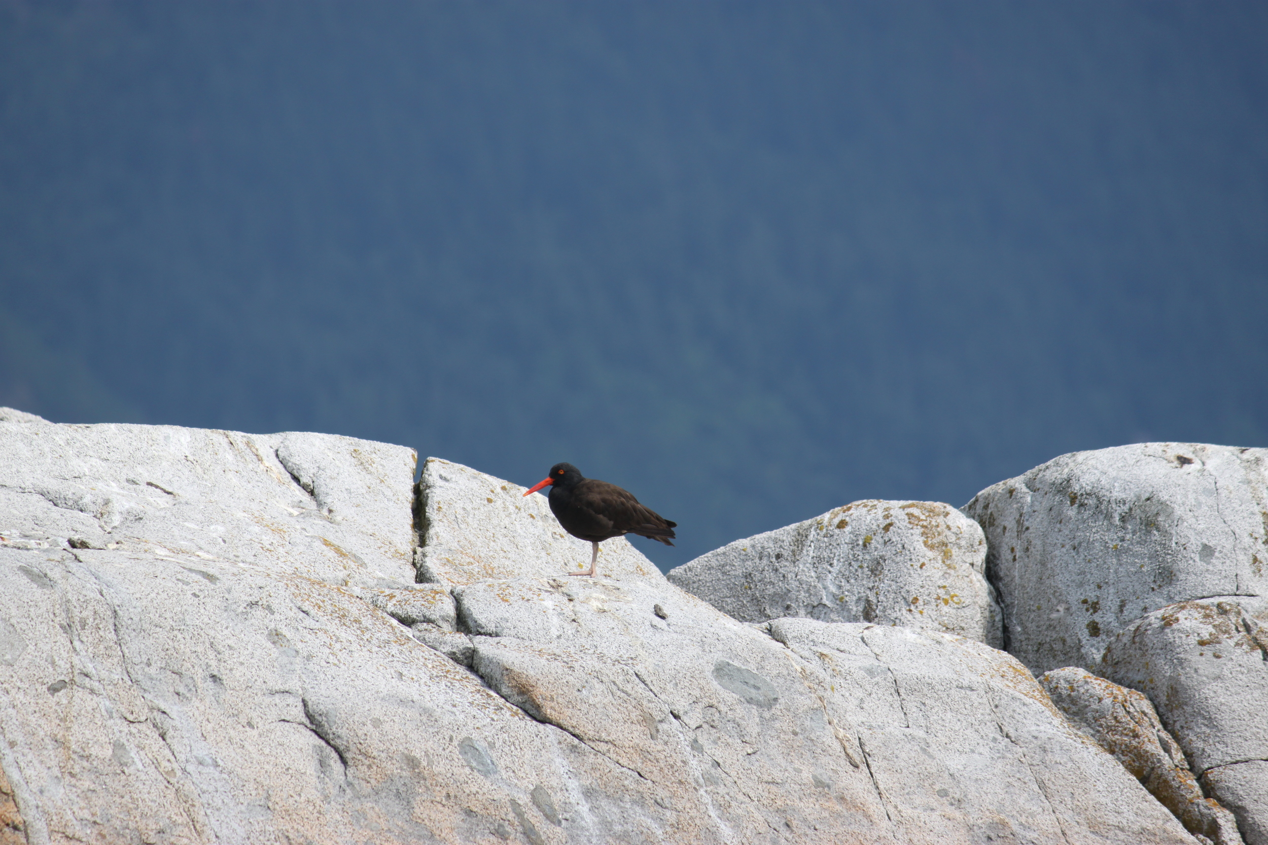
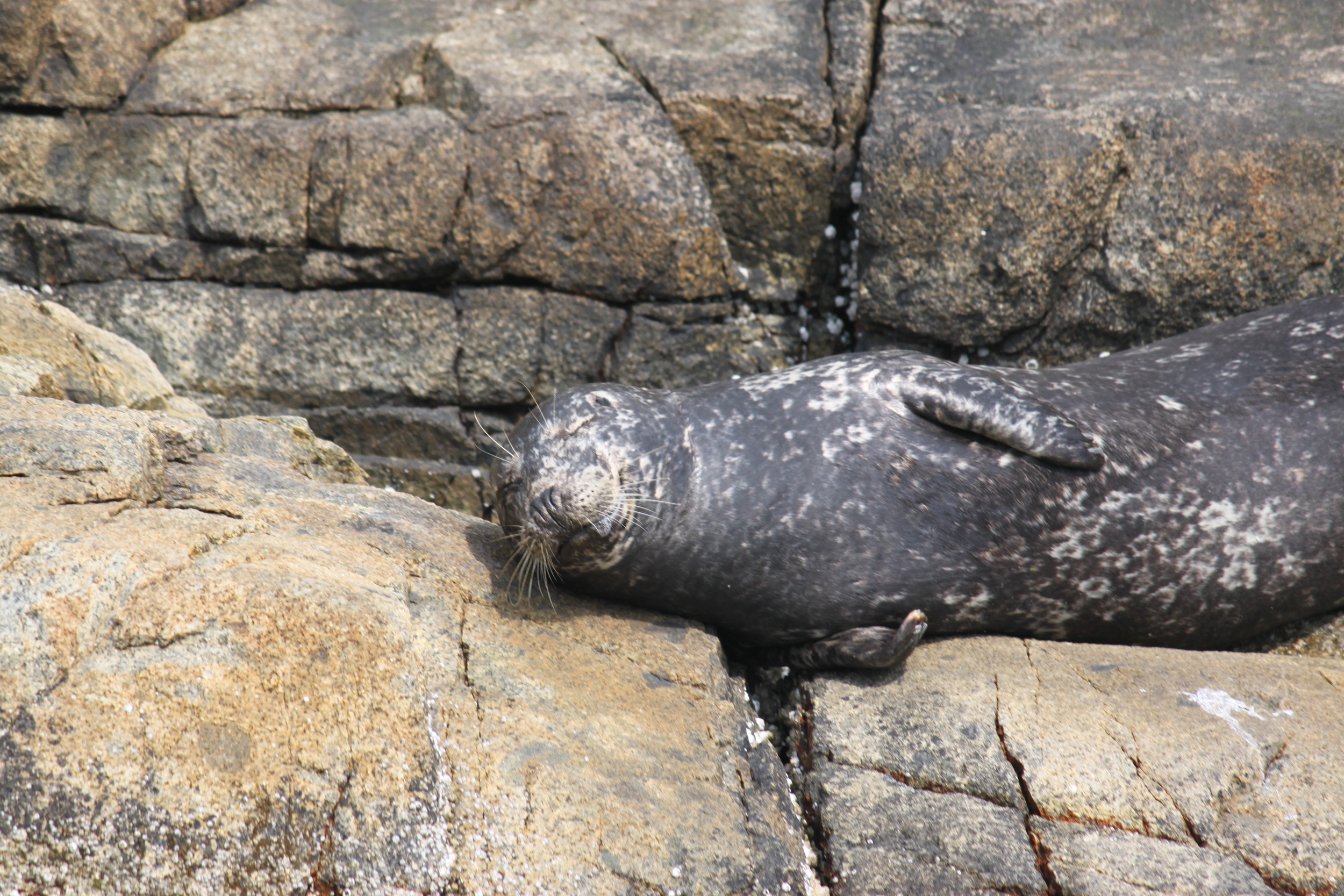
Pam Rocks & Christie Islet
Just south of Anvil Island the cluster of small rocky shoals known as Pam Rocks is the perfect place to snap a picture of seals sunning themselves. Christie Islet is a recognized bird-breeding site. Watch carefully and you may see an eagle swooping down on a salmon.